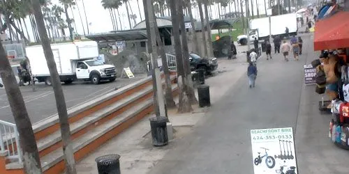
Map

Santa Catalina Island - PTZ Camera Webcam

Santa Catalina Island - PTZ Camera

Camera Overview

Santa Catalina Island - PTZ Camera Webcam screenshot
Santa Catalina is a rocky island in the Pacific Ocean off the coast of California. Named after Saint Catherine of Alexandria. Located 35 km south-southwest of Los Angeles. The island is 35 km long, 13 km wide and 194.19 km² in area. The highest point of the island is Mount Orizaba (639 m). Santa Catalina is part of the Channel Islands group. The island is administratively part of Los Angeles County.

Local Weather

  • Current Time:01:55
  • Temperature:52°F / 11.1°C
  • Wind: (W) 4 mph
  • Condition:ClearClear
  • Pressure:30.03 in / 1017 mb
  • Humidity:66%
  • Visibility:9 mil / 16 km
  • UV Index:0
  • Sunrise:
    06:18 AM
  • Sunset:
    05:52 PM
  • Max Temp:65.3°F / 18.5°C
  • Min Temp:46.6°F / 8.1°C

Location on Map

Other cams in Los Angeles

Top24h Hot Location Category Back