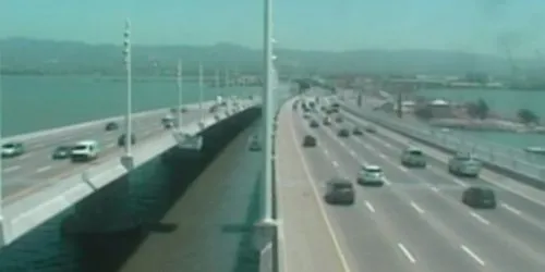
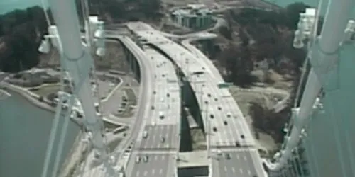
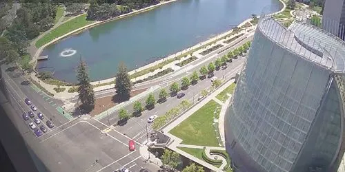
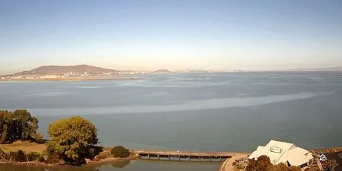
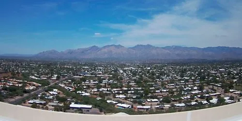
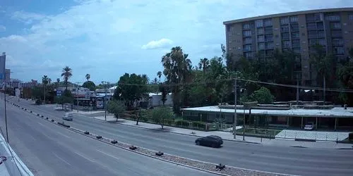
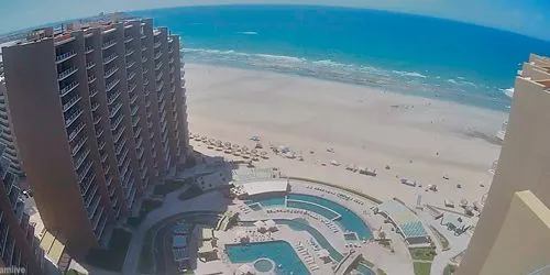
Map

Richmond Bridge Webcam

Richmond Bridge

Camera Overview

Richmond Bridge Webcam screenshot
The Richmond-San Rafael Bridge is the northernmost junction between east and west of San Francisco Bay in California, USA. Officially named for California State Senator John McCarthy, it connects Interstate 580 from Richmond in the east to San Rafael in the west. The length of the bridge is 8,851 meters.

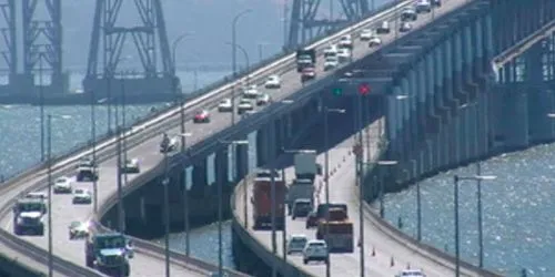
Source: https://511.org

Local Weather

  • Current Time:07:10
  • Temperature:50.2°F / 10.1°C
  • Wind: (WSW) 4.7 mph
  • Condition:Partly cloudyPartly cloudy
  • Pressure:30.25 in / 1024 mb
  • Humidity:86%
  • Visibility:9 mil / 16 km
  • UV Index:0
  • Sunrise:
    06:36 AM
  • Sunset:
    06:07 PM
  • Max Temp:52.3°F / 11.3°C
  • Min Temp:49.1°F / 9.5°C

Location on Map

Other cams in San Francisco

Top24h Hot Location Category Back