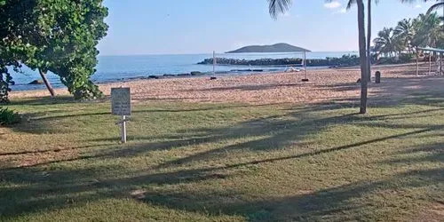
Map

Mountains west of Kanam Highway Webcam

USA Colorado Mountains west of Kanam Highway live webcam
Mountains west of Kanam Highway

Camera Overview

Mountains west of Kanam Highway Webcam screenshot
The CanAm Highway is an international highway that connects Mexico to Canada through the United States. It runs along US Route 85 and Interstate 25, passing through six US states and the Canadian province of Saskatchewan. Canada's CanAm Highway includes Saskatchewan Highways 35, SK 39, SK 6, SK 3, and SK 2.

Source: https://carsprogram.org

Local Weather

  • Current Time:10:38
  • Temperature:53.1°F / 11.7°C
  • Wind: (SW) 12.8 mph
  • Condition:SunnySunny
  • Pressure:29.65 in / 1004 mb
  • Humidity:13%
  • Visibility:9 mil / 16 km
  • UV Index:3.6
  • Sunrise:
    06:26 AM
  • Sunset:
    05:55 PM
  • Max Temp:56.1°F / 13.4°C
  • Min Temp:31.6°F / -0.2°C

Location on Map

Other cams in Trinidad

Top24h Hot Location Category Back