Illinois River Webcam
Watch the Illinois River cam in Peoria, Illinois – see live weather and street activity.
Camera Overview
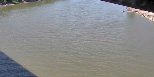
The Illinois is a river in the state of Illinois, a left tributary of the Mississippi River. It is formed by the confluence of the Des Plaines and Kankakee rivers, 72 km southwest of the city of Chicago. It flows through the Central Plains, flows into the Mississippi River near the city of Grafton. Length - 432 km. The basin area is 71 thousand km². navigable. Part of the Illinois Waterway.
Source: https://travelmidwest.com